What is it?

By

Published on

in

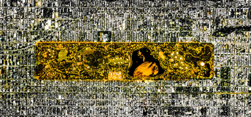
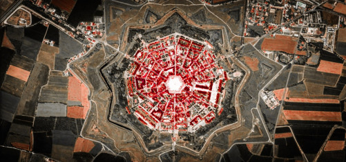
What is this? Photographs. Of what? Urban landscapes. By Frederico Winer. But he takes the Google Earth view and looks for structures. Parking lots, airports, small and large towns and even Central Park are shown below. In a way never seen before. Very nice, I think…

federico-winer-satellite-views-architecture-hypnotizing-urban-landscape-designboom-11

federico-winer-satellite-views-architecture-hypnotizing-urban-landscape-designboom-04

federico-winer-satellite-views-architecture-hypnotizing-urban-landscape-designboom-02

federico-winer-satellite-views-architecture-hypnotizing-urban-landscape-designboom-06

federico-winer-satellite-views-architecture-hypnotizing-urban-landscape-designboom-03

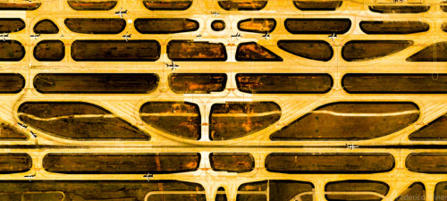
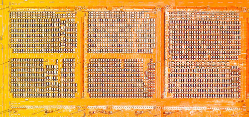
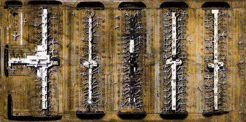
click=source for all above

If you like the pics, find even more on Frederico Winers Website.

Read Next:


Hey!

Hey there, fellow Robloxian! Whether you’re here to discover hidden gem games, level up your building skills, or just stay in the loop with the latest events, you’re in the right place. This blog is all about sharing the coolest things in the Roblox universe—from developer tips to epic game reviews. So grab your Bloxy Cola, hit that follow button, and let’s explore the world of Roblox together! 🚀


Join the Club

Stay updated with our latest tips and other news by joining our newsletter.